"Personalised and Bespoke Travel Arrangements in the Kingdom of Bhutan"
Since 1995
We're here to help you plan the most rewarding travel experience in Bhutan. We specialise in personalized trips for individuals, couples, families, private groups and customised itineraries. From Tshering and the team at Bhutan Scenic Tours, we welcome you to Bhutan and look forward to sharing a little of our national happiness.
Some of our former guests mentioned that Bhutan offers a rare harmony of pristine scenery, living traditions, environmental stewardship, and cultural authenticity that is increasingly difficult to find elsewhere.
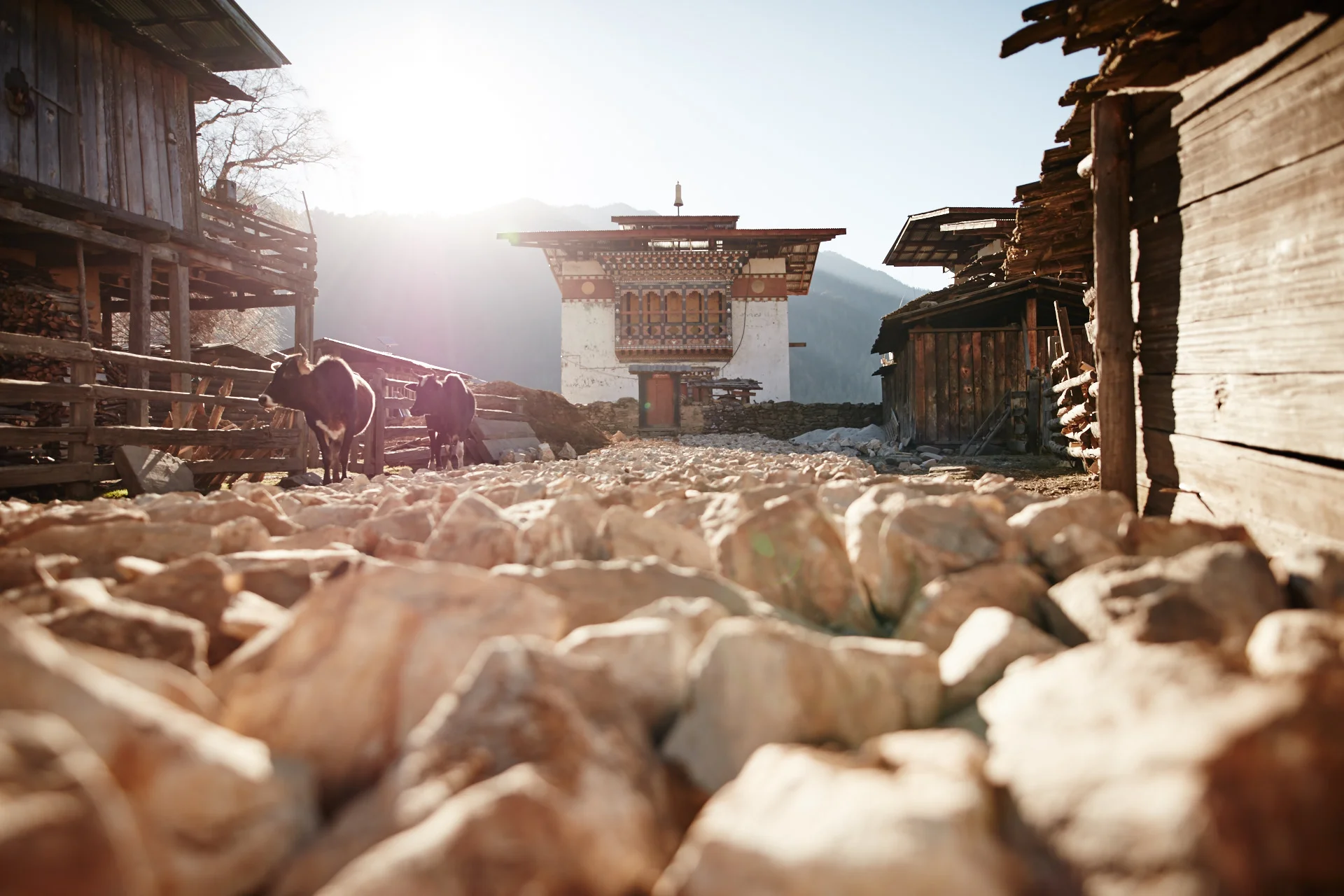
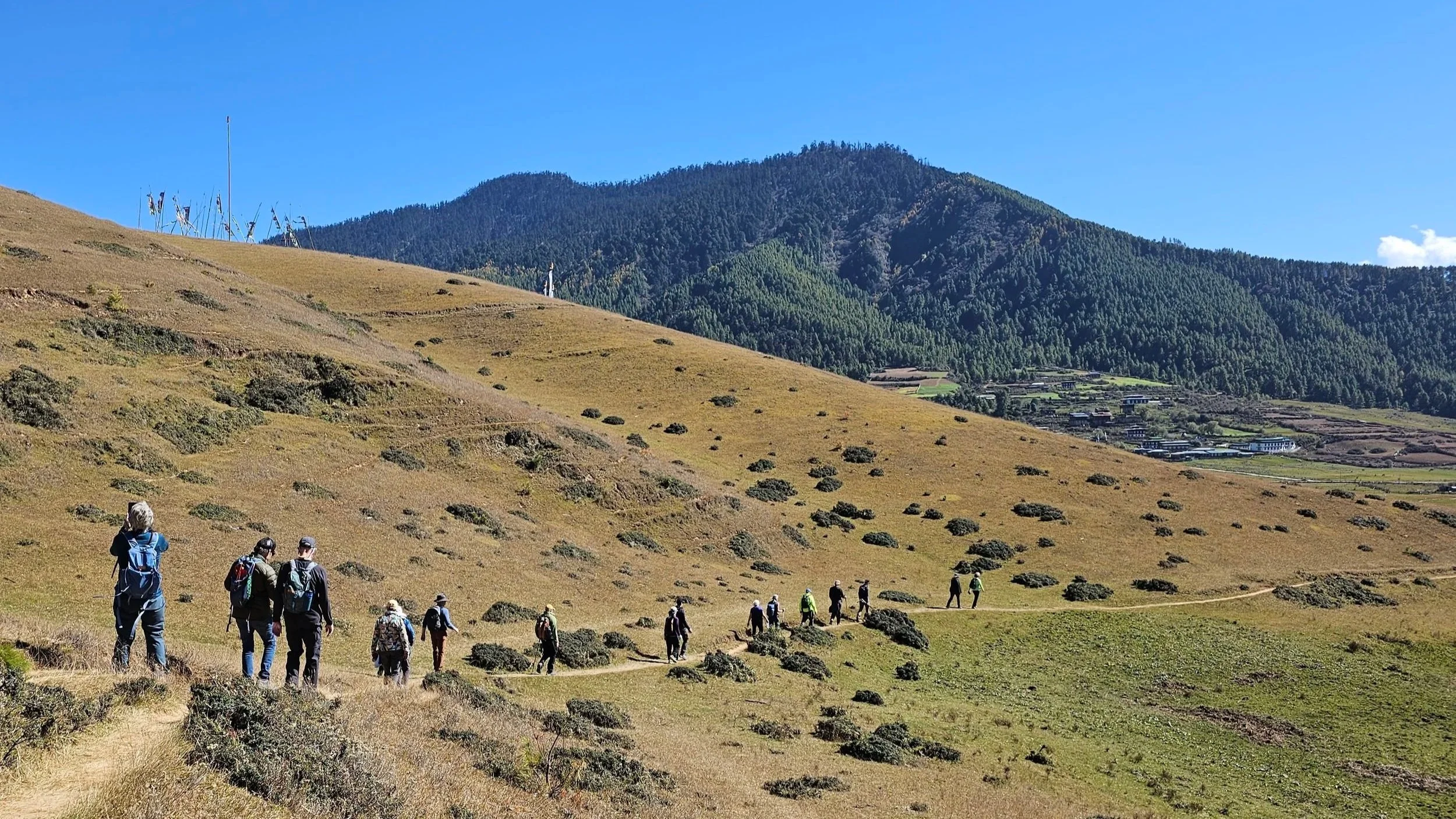
One of our greatest strengths as a trail-running destination is its extensive network of historic footpaths. For centuries, these routes served as the primary means of travel between communities and remain an integral part of the country's cultural heritage. Today, many of these paths offer exceptional opportunities for trail running, allowing visitors to explore the country in an authentic and immersive way.
This well-paced nine day itinerary offers a comprehensive journey through Bhutan, beautifully blending the kingdom’s cultural treasures, historical landmarks, pristine valleys, and soft adventure. Navigating through varying altitudes and stunning terrains, the route transitions from the bustling contemporary capital to serene, ecologically protected valleys, concluding with Bhutan’s most iconic spiritual hikes.
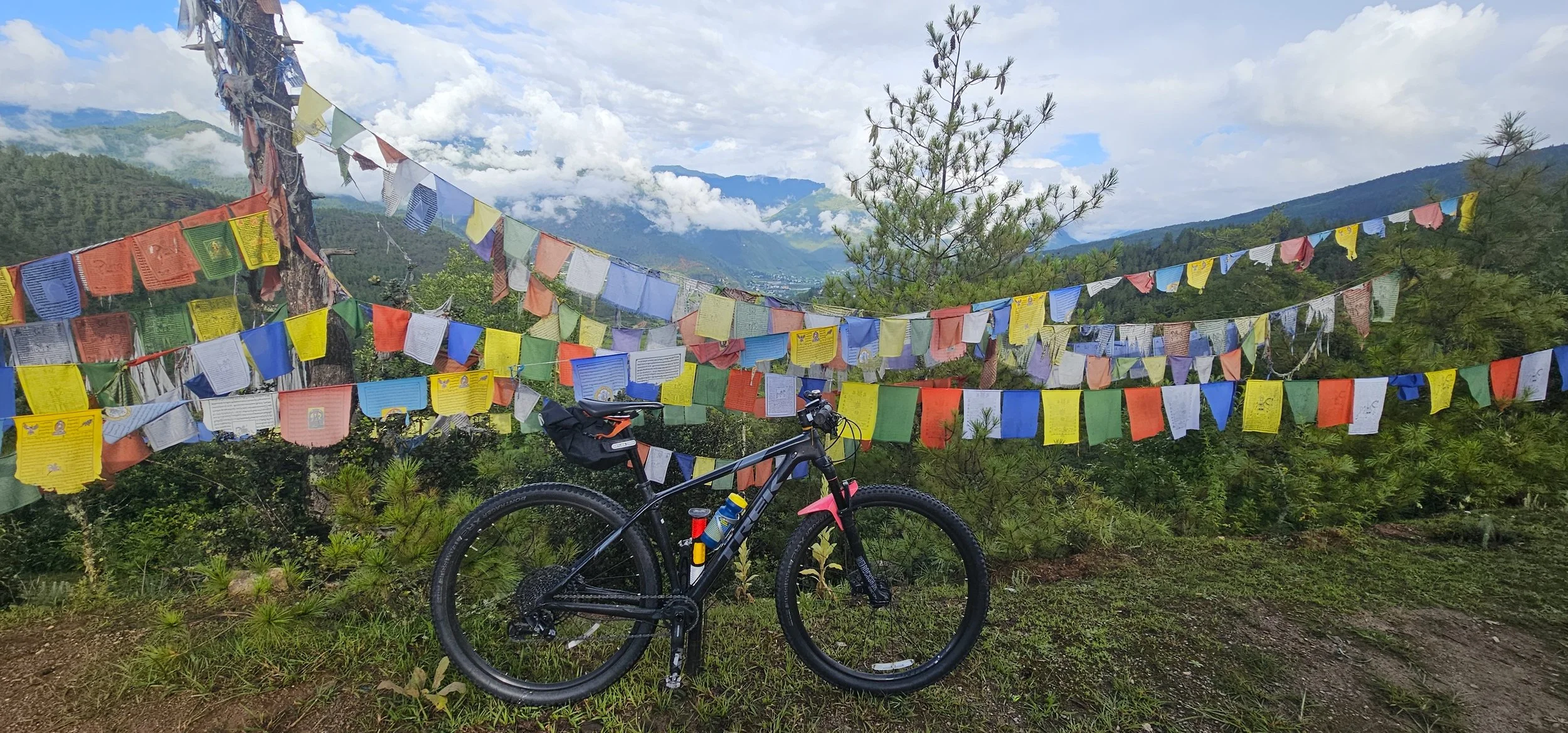
From the changing landscapes to the warmth of its people, from the physical challenge to the quiet moments of solitude, Bhutan reveals itself most honestly to those who move through it slowly. On a bicycle, you feel every incline, every gust of wind, every shift in temperature. You become part of the landscape rather than just passing through it.
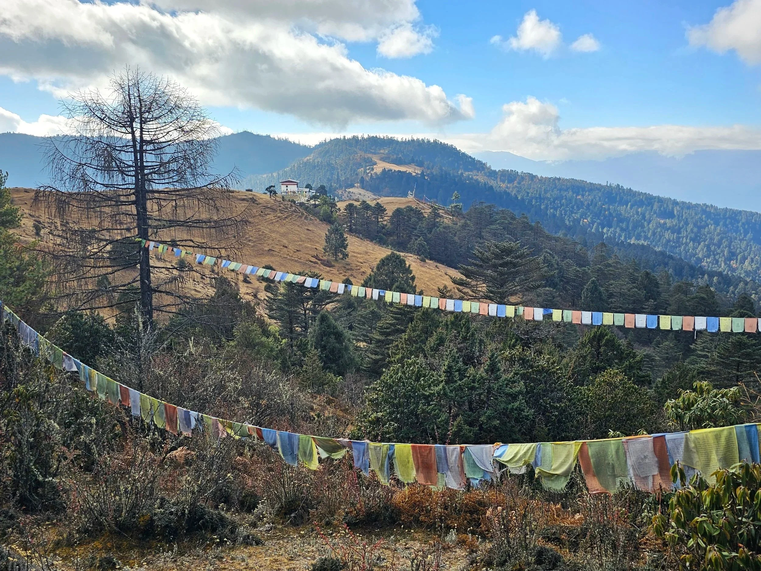
The Gangtey Nature Trail offers a peaceful and memorable experience, perfect for anyone looking to embrace slow living, enjoy nature, soak in simplicity and cultivate mindfulness.
Cycling in Bhutan is not just a ride. It is a pilgrimage of sorts ; one that leaves you a little stronger, a little quieter, a little more aware of the world around you and perhaps, maybe even a little happier.
What makes Haa so unique is its stillness. It is a place for walking slowly, immersing in the peaceful ambience, and letting the landscape speak, an ideal setting to unwind and enjoy slow travel. Some of our past guests even remarked that the valley instills an aura of peace, presence, and a sense that the world is still full of quiet wonder.
This travel program offers a perfect harmony of cultural exploration, wildlife adventures, and stunning natural beauty, allowing you to experience the valleys of Paro, modernity of Thimphu, alluvial valley of Punakha, the wildlife-filled jungles of Manas and the enchanting beauty of Phobjikha.
Bhutan is often seen as a pioneer in sustainable tourism due to its unique approach to development, which prioritizes Gross National Happiness (GNH) over Gross Domestic Product (GDP). Our government has implemented policies to ensure that tourism in the country aligns with principles of sustainability, cultural preservation, and environmental conservation.
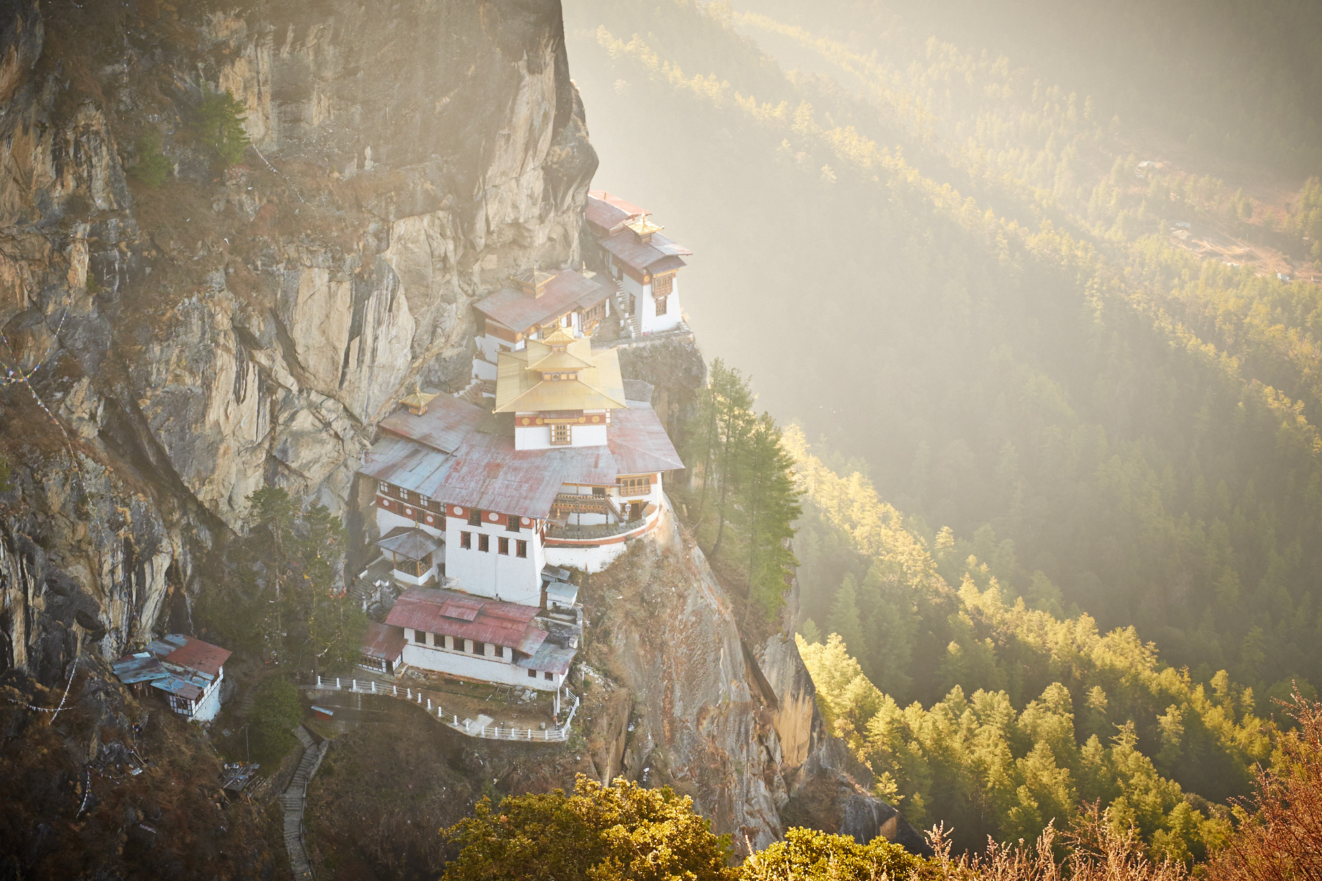
Pilgrimage trips with Bhutan Scenic Tours offer a journey of self-discovery, blending the pristine beauty of the Himalayas with the country's deep spiritual roots. Whether you're a devout pilgrim or a curious traveler seeking a unique cultural experience, Bhutan's spiritual sites and traditions will leave a lasting impression, making it a once-in-a-lifetime adventure worth embarking upon. Immerse yourself in the magic of Bhutan and find your own spiritual connection in this Himalayan sanctuary.
The funds contribute towards the preservation of our nations rich cultural heritage and pristine environment, by funding preservation, conservation, climate resilience projects and other sustainability initiatives that supports the attainment of sustainable development goals. We thank you for the contribution and support to Bhutan and our Planet.
The blue poppy is often associated with mystique, rarity, and beauty. Its distinctive bluish purple color is considered unique among other species of poppies, which are typically known for their red, orange, yellow, or pink hues. In some Himalayan cultures, it symbolizes calmness, peace, or even spiritual enlightenment. Similarly, for Bhutan, the Blue Poppy signifies the pursuit of happiness, compassion, purity, friendship, harmony, respect for environment, peace, and finding happiness in simplest of things.

We specialise in Cultural, Trekking, Cycling, Birding, Walking, Festival and Photography Tours in Bhutan. To ensure wholesome travel experiences and efficient services, we endeavor to provide personalized attention on all our trips. Have a look at our latest tours or pick a category from the menu.
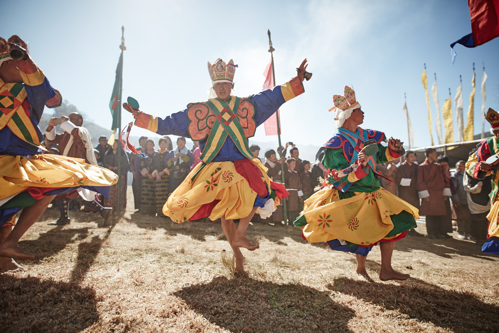
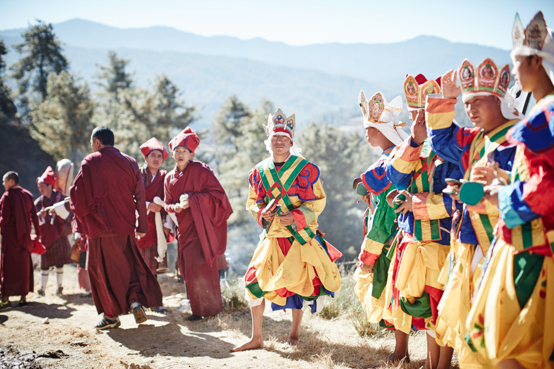
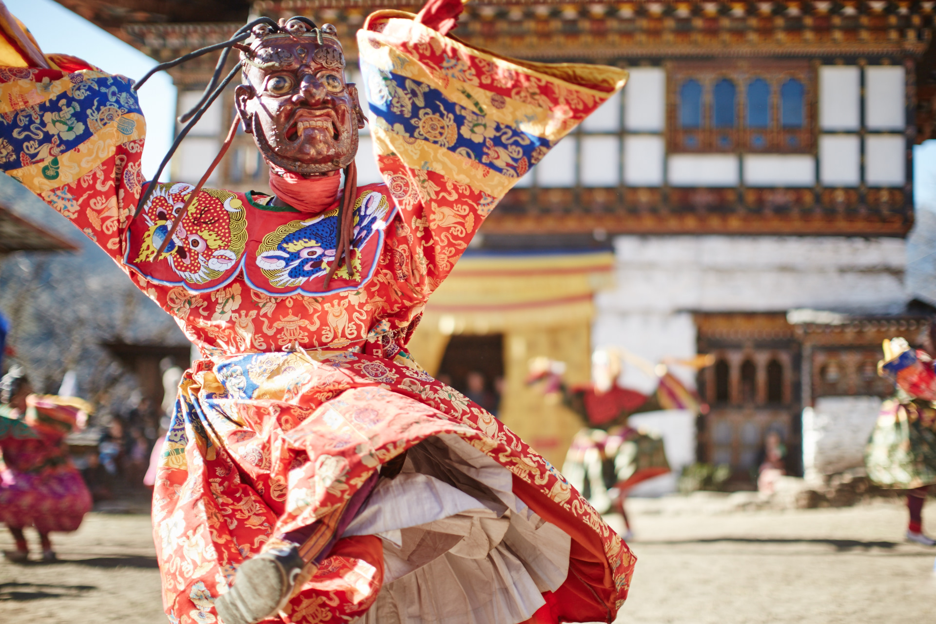
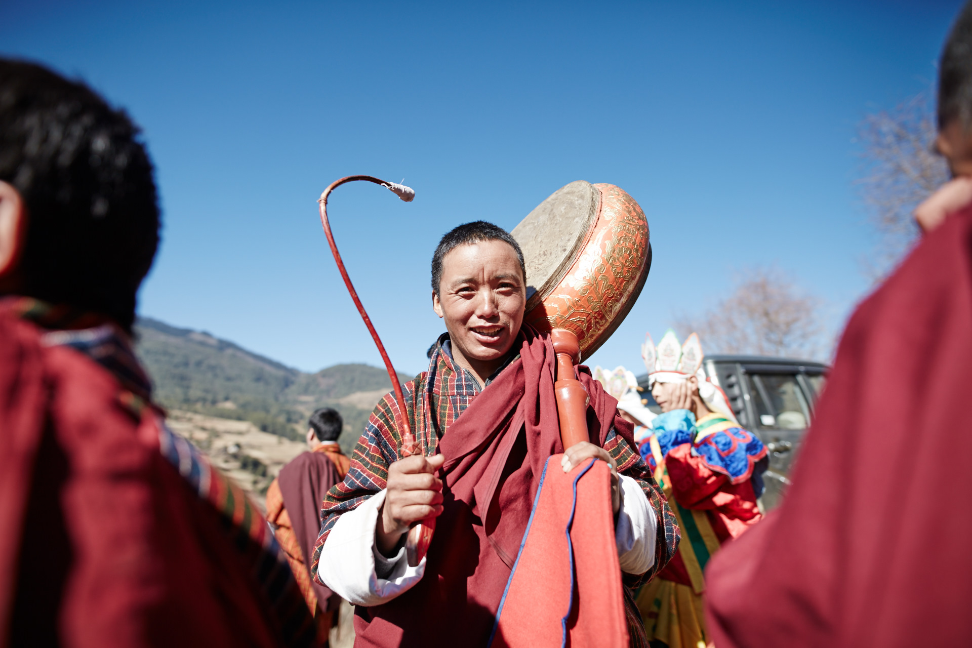
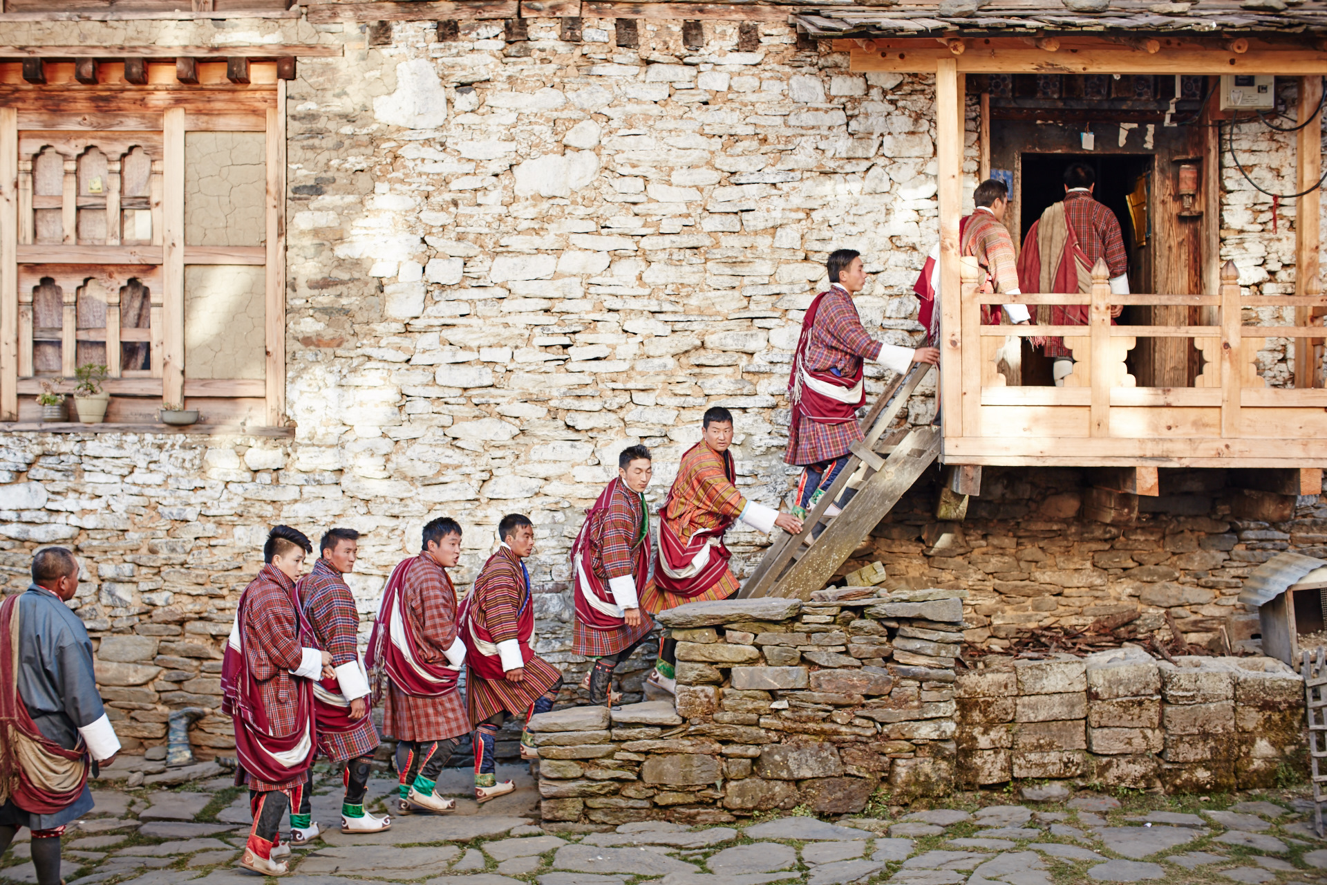
Tshechu in Tang Valley
Simply drop us a call or email to talk about your travel requirements, and we'll help you refine an itinerary to suit. For most requirements, the government mandated minimum daily price will cover all your ground travel. We organize the Bhutan visa and will also assist with connecting flights into and out of Bhutan, or internal flights where necessary. All payments are made to the government trust fund, not directly to us.
Read more about how to book here.

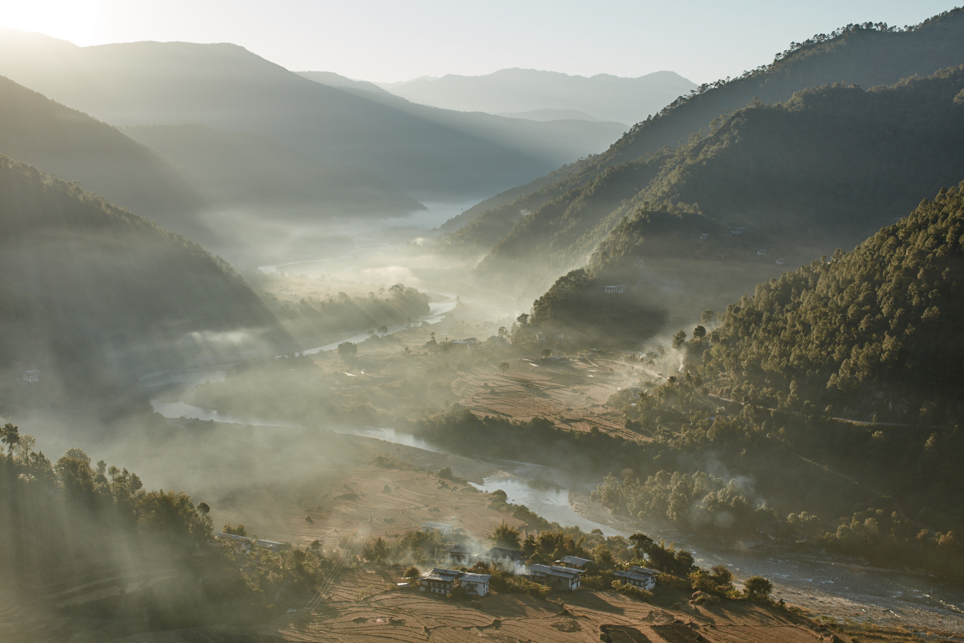
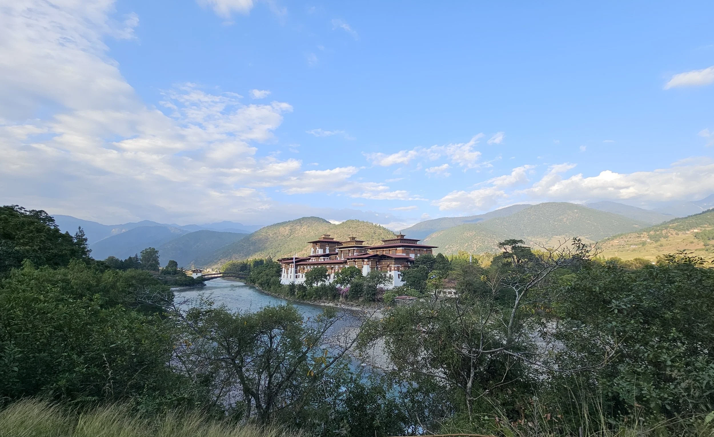
Sunrise in Punakha Valley
My name is Tshering Dorji and Bhutan Scenic Tours is my labor of love. Come and meet some of my team and read our journeys in Bhutan, on and off tour.

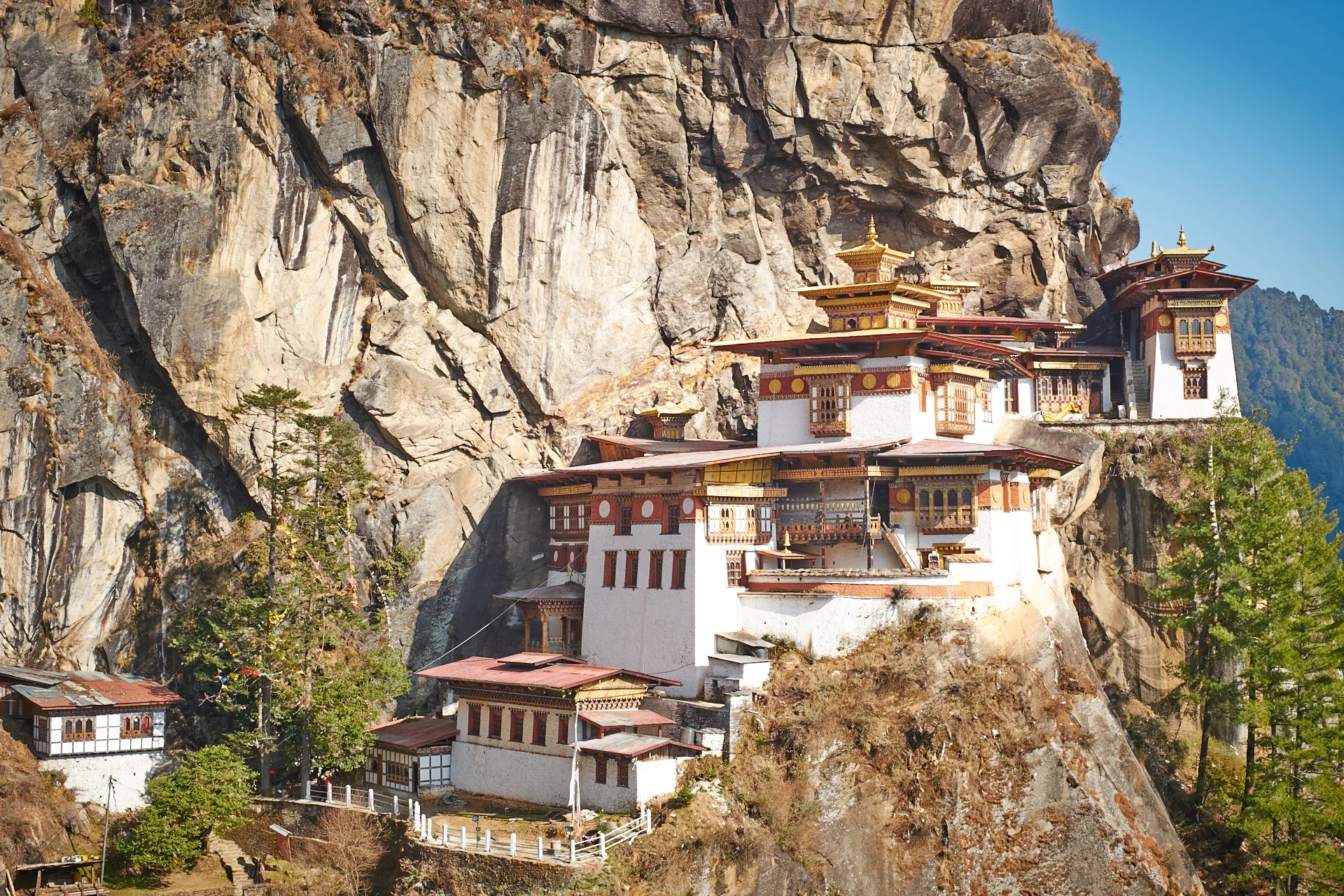
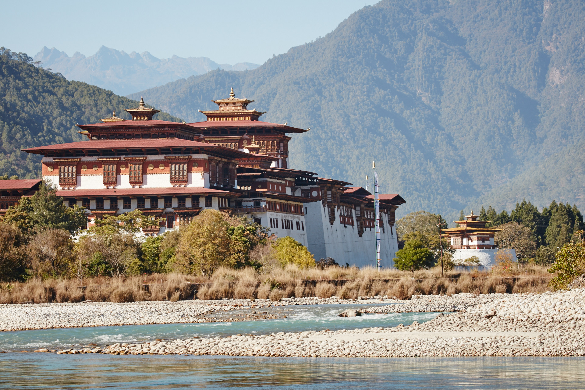
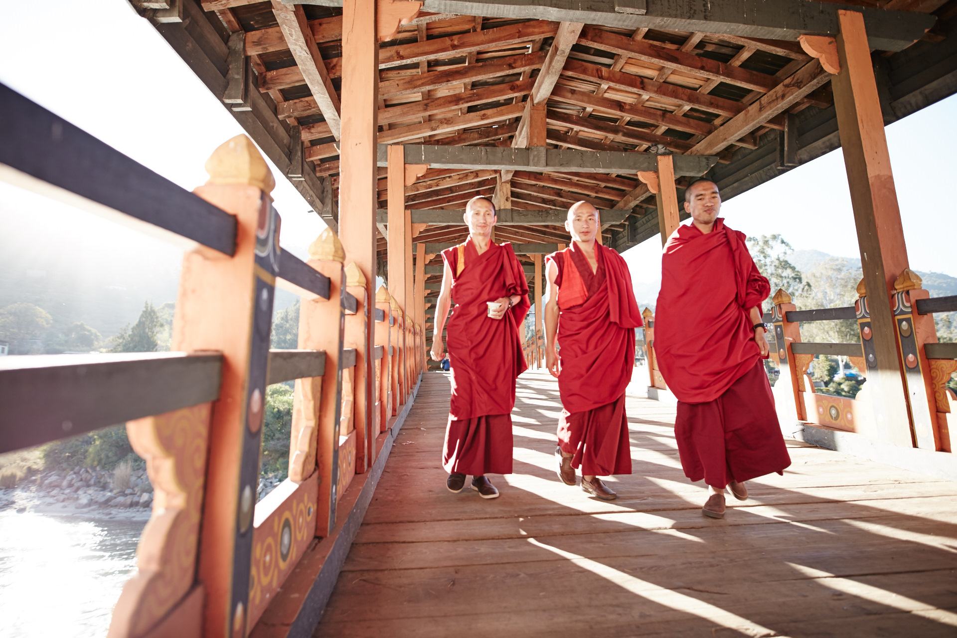
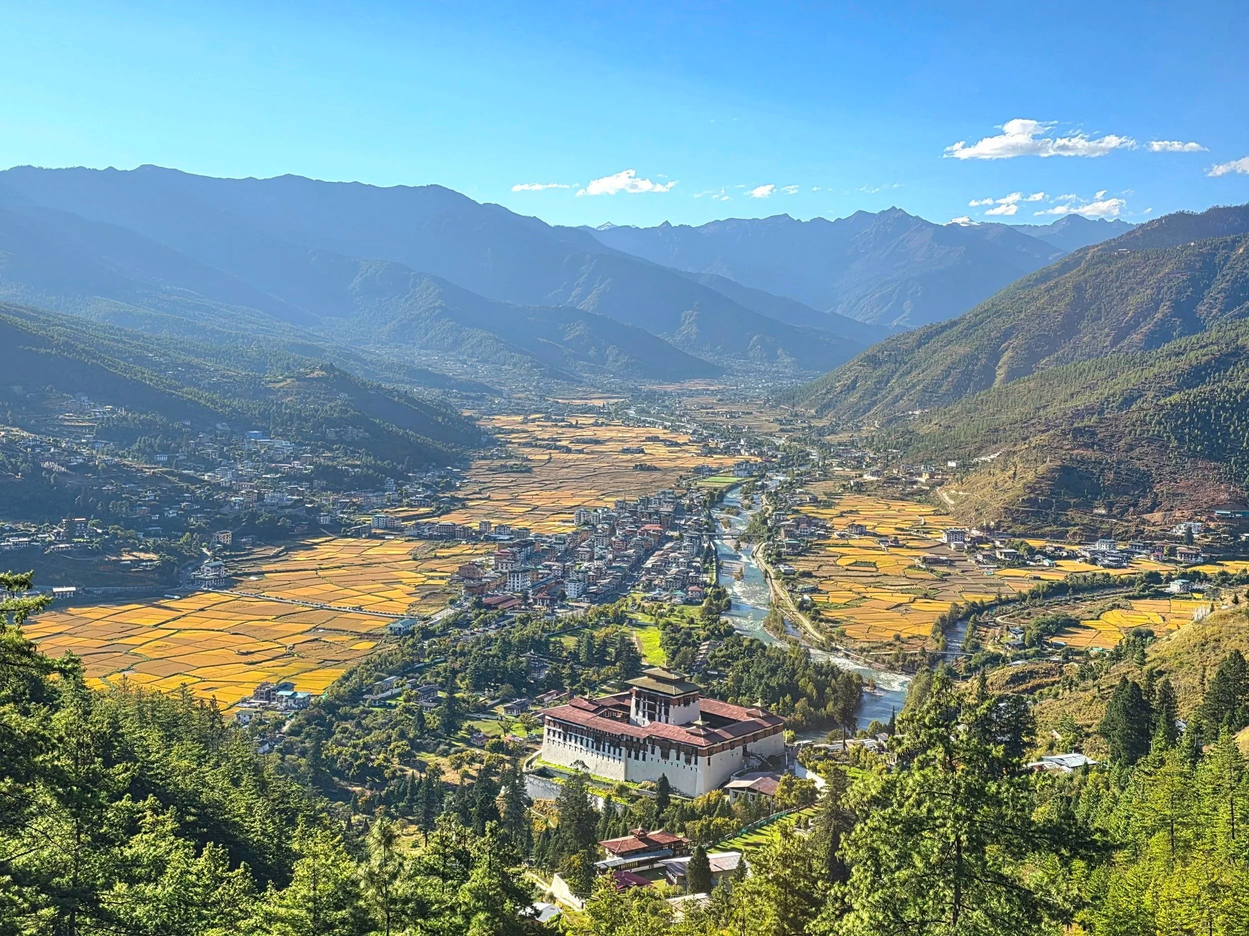
Visiting the Paro Dzong
Click here to find out why we love our travellers so much, and read what they have to say about travelling with us!